In September 2023, during the 45th World Heritage Committee session held in Saudi Arabia, the nomination of Kaunas Modernist Architecture, "Modernist Kaunas: Optimistic Architecture, 1919–1939," was approved.
The interwar architecture became the fifth national heritage to receive prestigious UNESCO status. On 24 September 2023, the diverse range of interwar buildings in Žaliakalnis and Naujamiestis was recognised as a significant heritage for humanity, present and future generations.
Modernist Kaunas was included in the UNESCO World Heritage List under Criterion IV. As an exceptional example of a historic city centre that experienced rapid urbanisation and modernisation while serving as the temporary capital (1919–1939), Modernist Kaunas embodies the values and aspirations of local residents who sought to create a modern city. Driven by post-war optimism and a belief in an independent future, it stands as a testament to early 20th-century Europe during a period of shifting national borders.
Through civic initiatives, the gradual development of Kaunas, respecting both the urban context and the natural environment, resulted in an exceptional cityscape and a distinct architectural language. This development not only met the needs of a growing population but also reflected the modernization of urban life in the 20th century. It is a testament to the community's optimism and creativity, even in the face of challenging political and economic conditions.
ATTRIBUTES
Attributes are inseparable qualities of a place or object without which it cannot exist or be imagined.
Kaunas Modernism represents both tangible heritage and the culturally and socially significant activities of the interwar era, highlighting the uniqueness of Modernist Kaunas.
Five key attributes of Kaunas have been recognised globally:
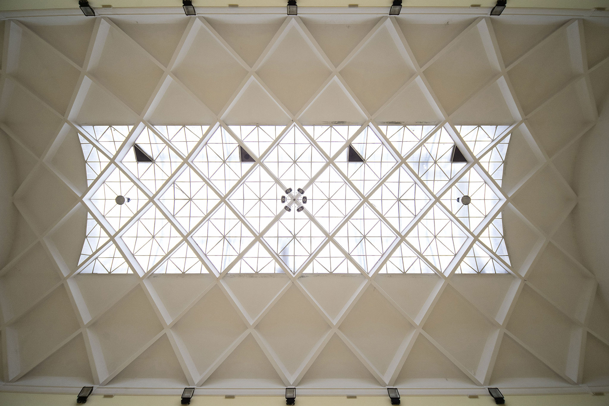
The urban plan comprises historical street alignments, squares, panoramas, and distinctive building features and types. The integration of Modernist buildings into the 19th-century street network and the development of a city-garden suburb play a central role in this unique urban landscape.
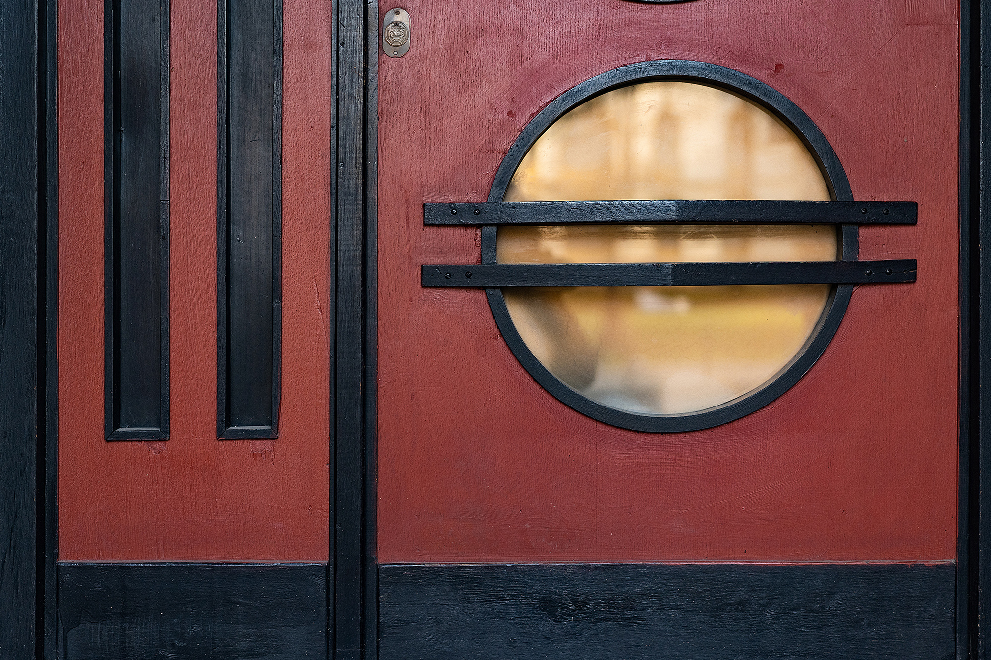
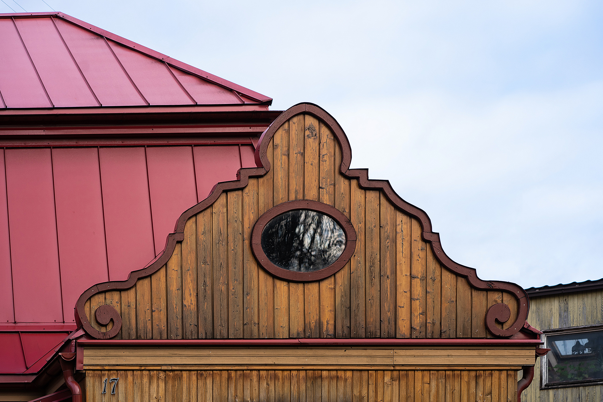
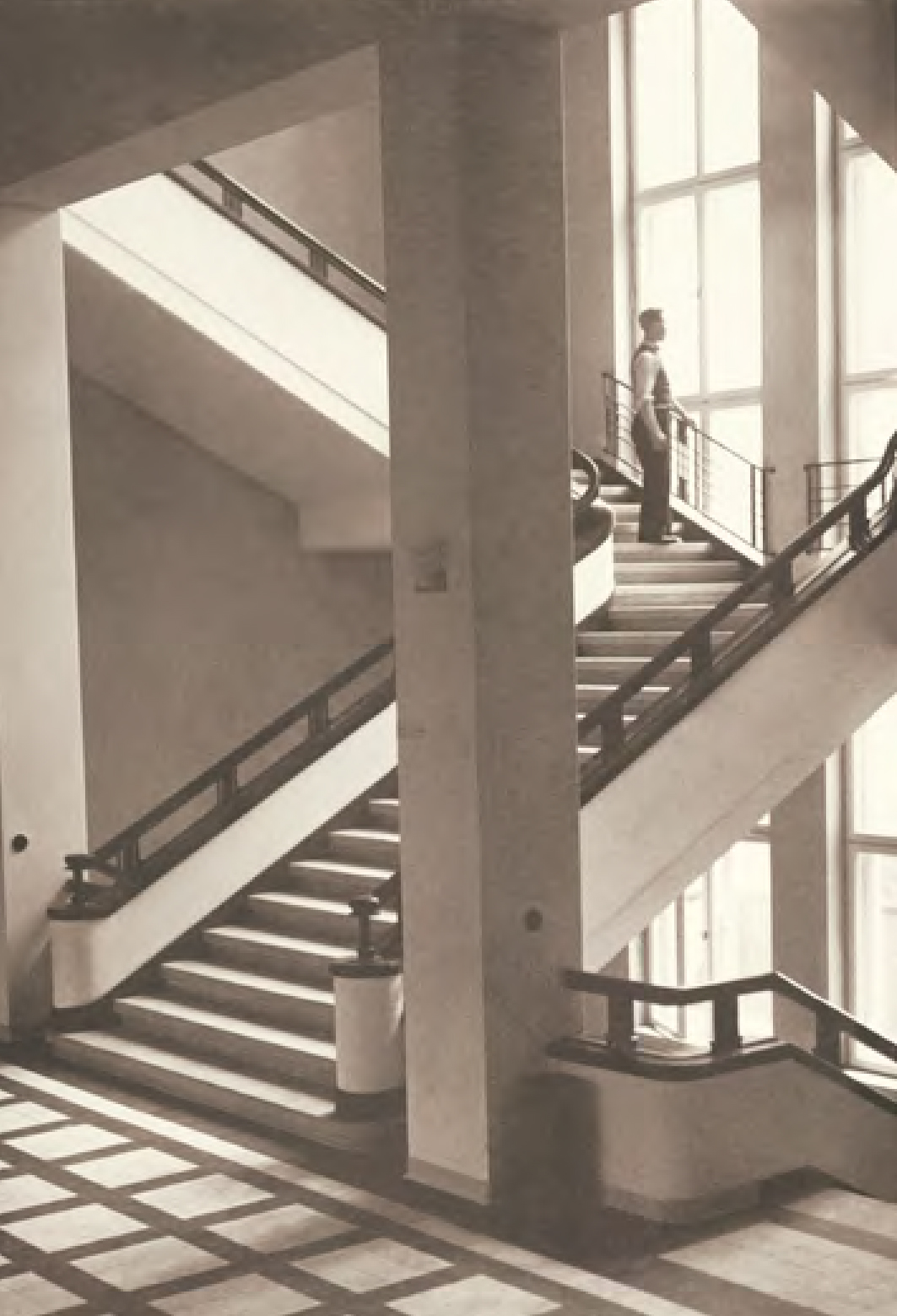
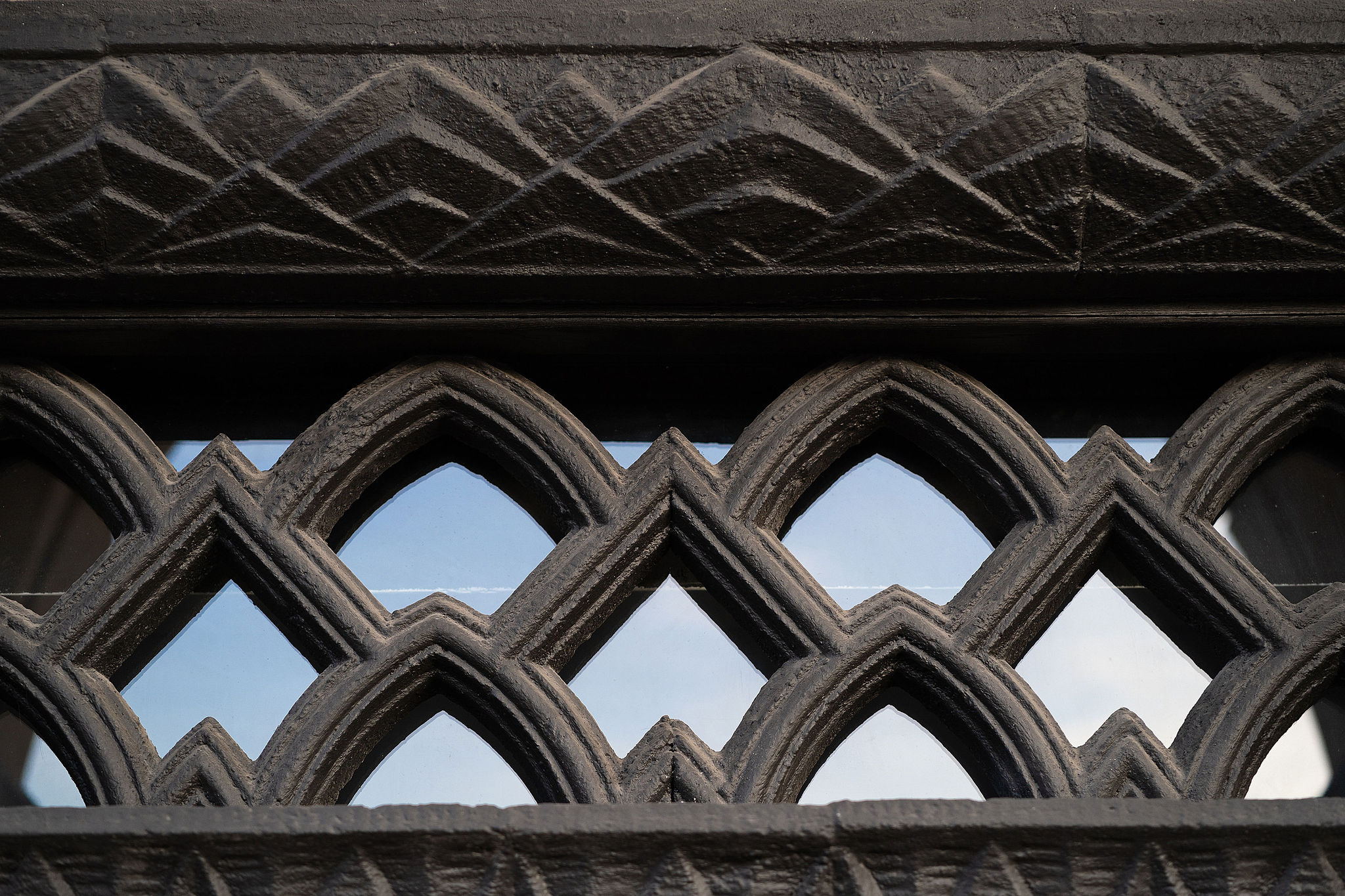
Modernist architecture in Naujamiestis and Žaliakalnis stands as a testament to the era's innovation and diversity.
Kaunas' distinctive topography, from the sweeping terraces of the Nemunas River to the surrounding greenery and slopes, forms an integral part of the city's heritage.
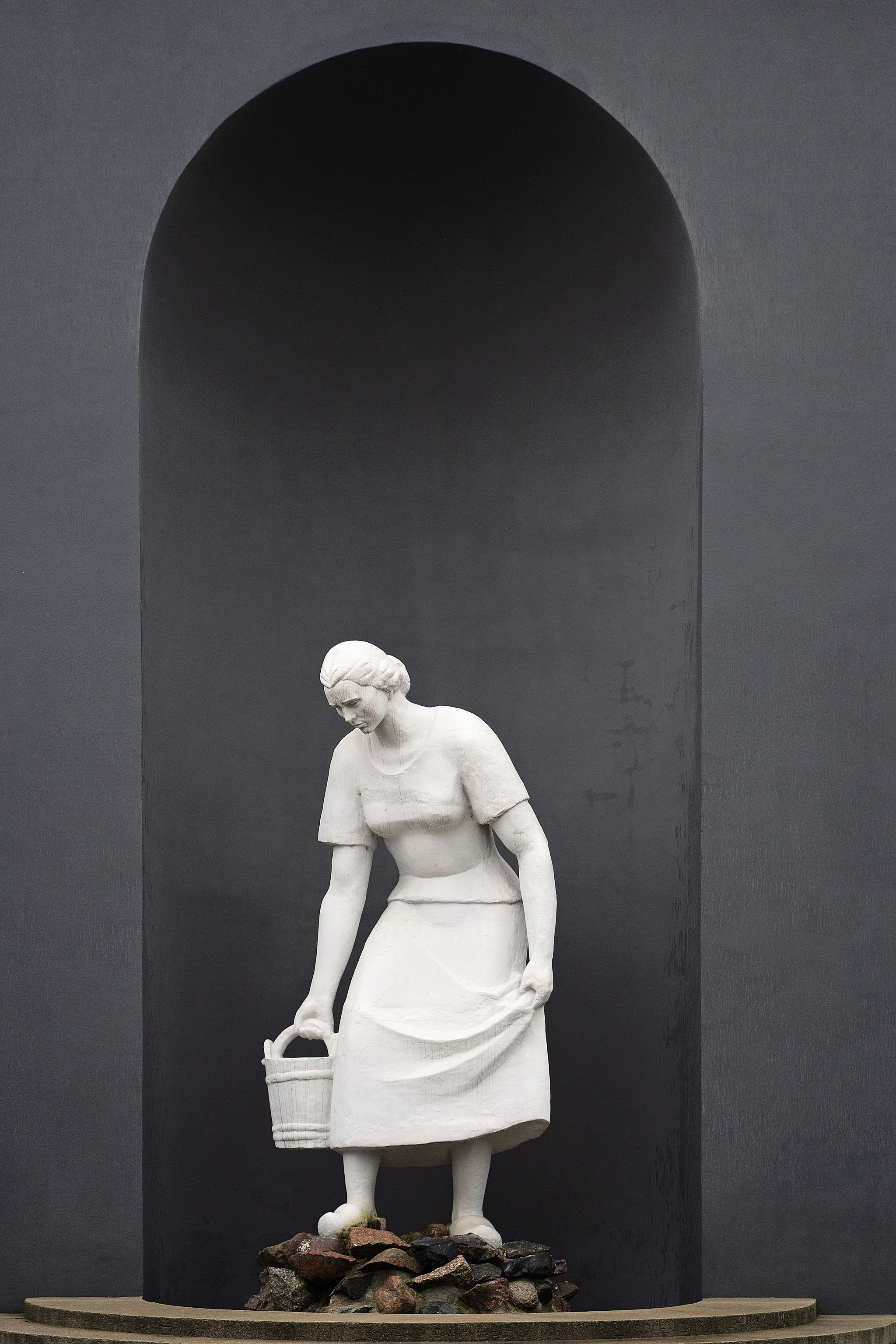
Beyond physical structures, Kaunas' intangible heritage includes national celebrations, festivals, cultural events, and commemorative signs.
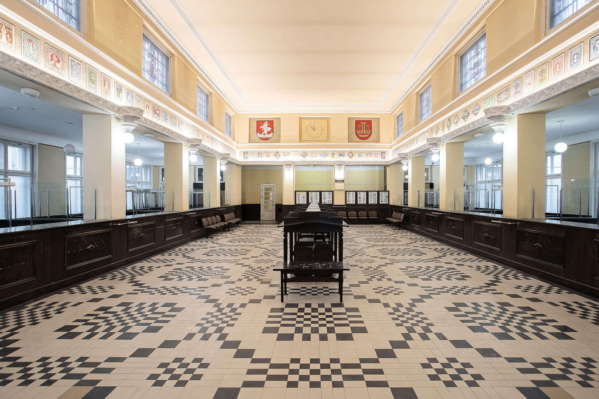
Both UNESCO territories had their specific functions: Naujamiestis became the administrative and cultural hub, while Žaliakalnis evolved as a residential, leisure, and sports district. Buildings of exceptional value continue to serve their original functions or retain similar roles, preserving the city's historical integrity.
UNESCO BOUNDARIES
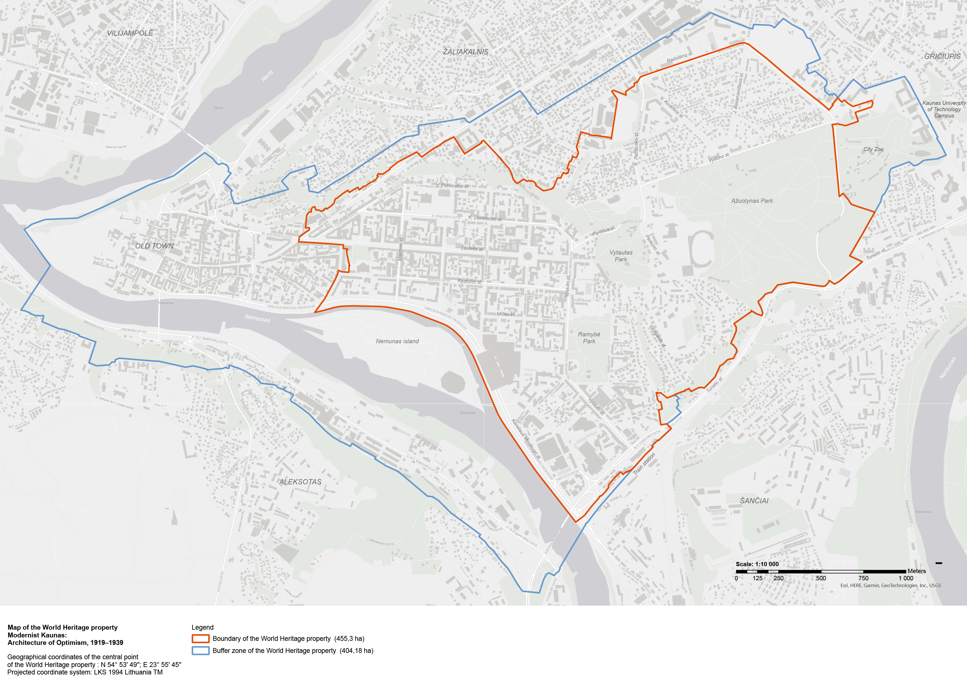
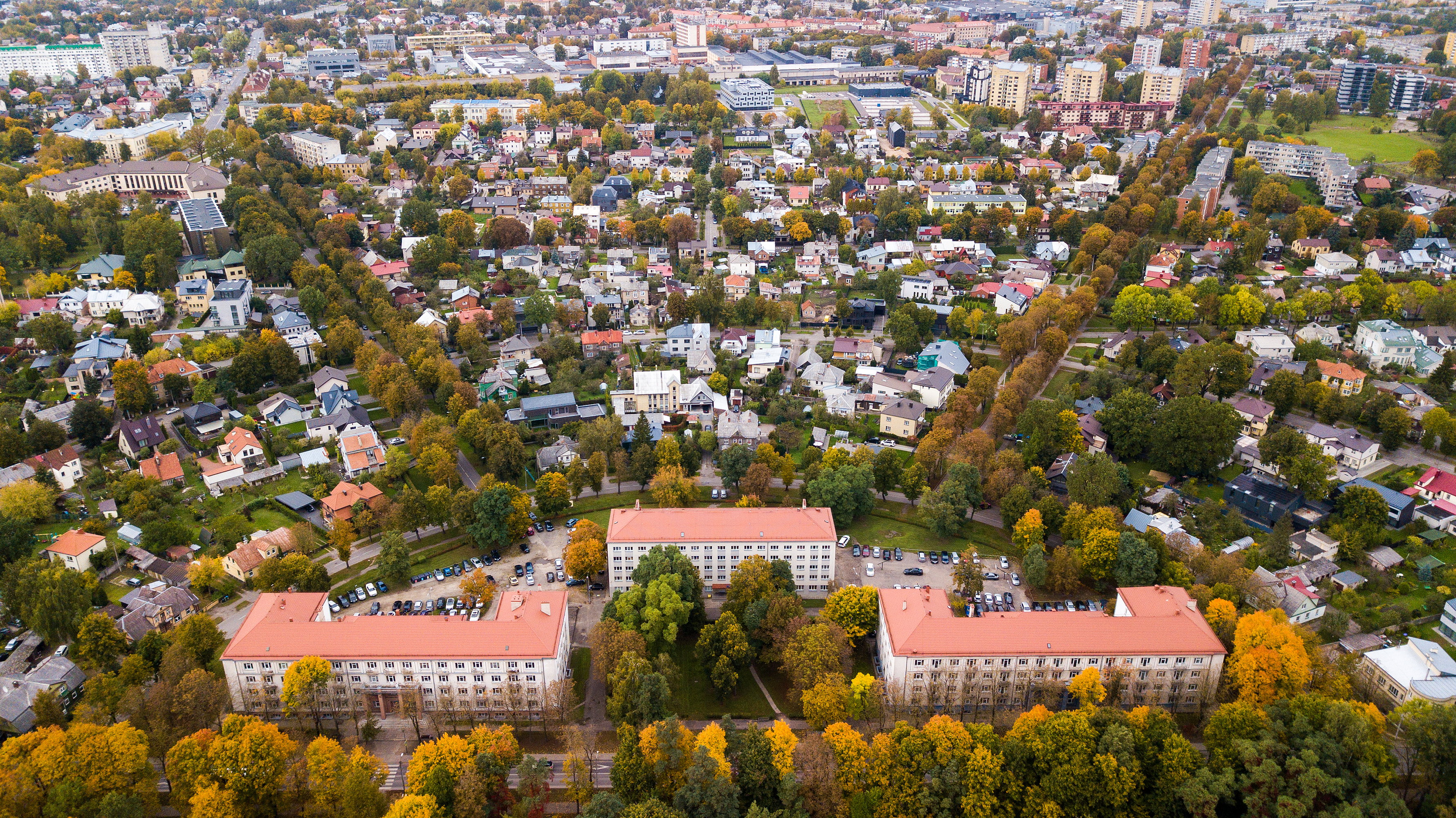
UNESCO World Heritage status was granted to the area encompassing Naujamiestis, Žaliakalnis 1st and 2nd cultural heritage sites, Ąžuolynas, the Resurrection of Christ Church, and the Research Laboratories complex, including all buildings, streets, greenery, and engineering structures. This 455.3-hectare site includes buildings, streets, greenery, and engineering structures. A 404.18-hectare buffer zone surrounds it, covering Kaunas Old Town, the Lithuanian Zoological Garden, and extending to the Aleksotas slopes.
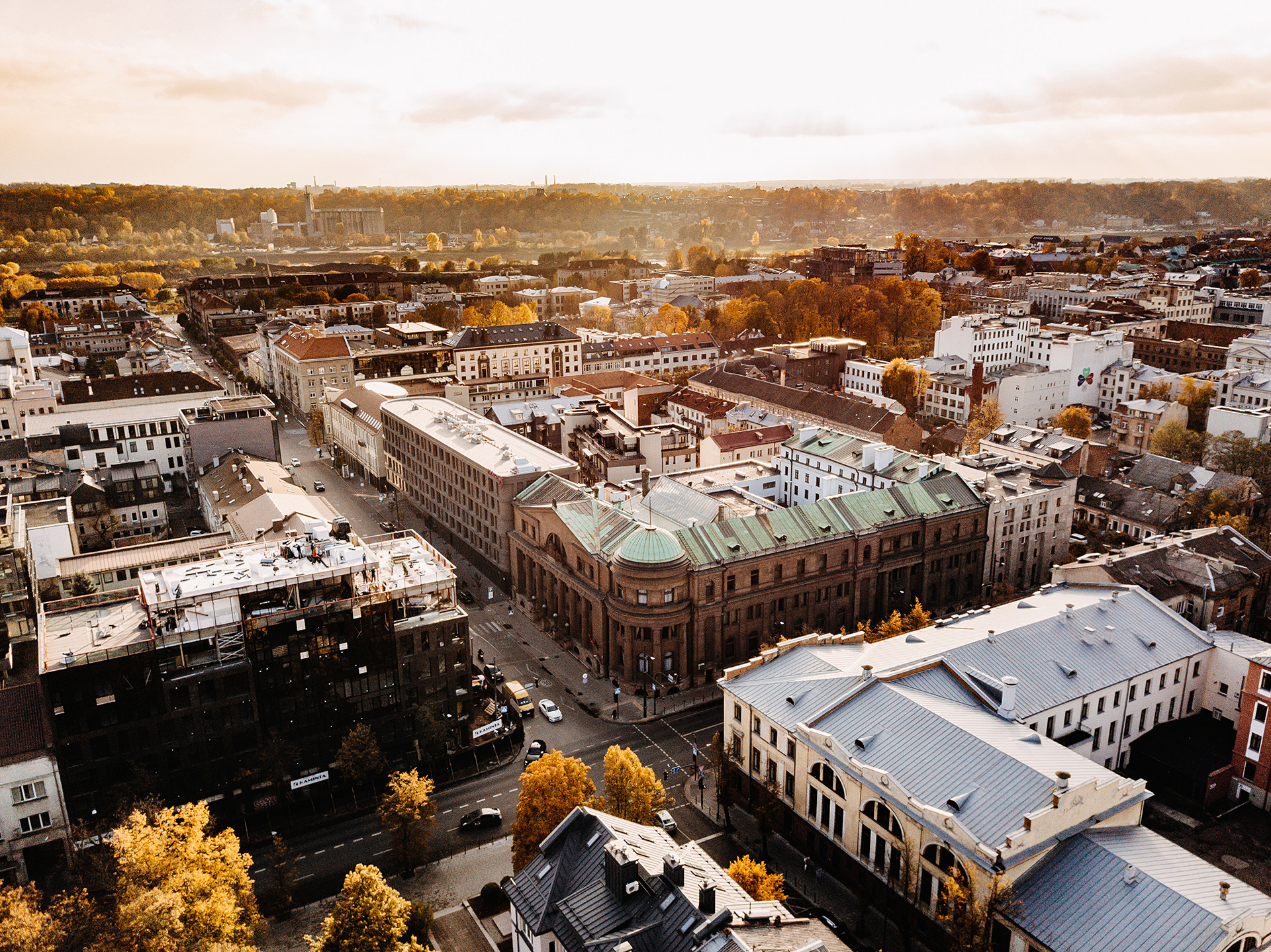
NAUJAMIESTIS
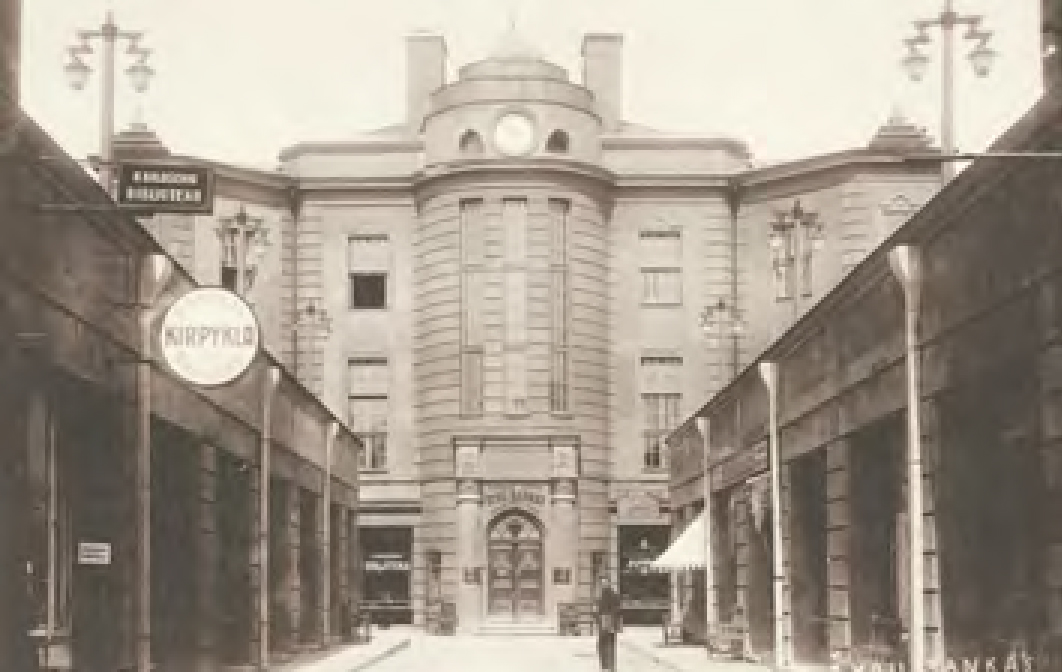
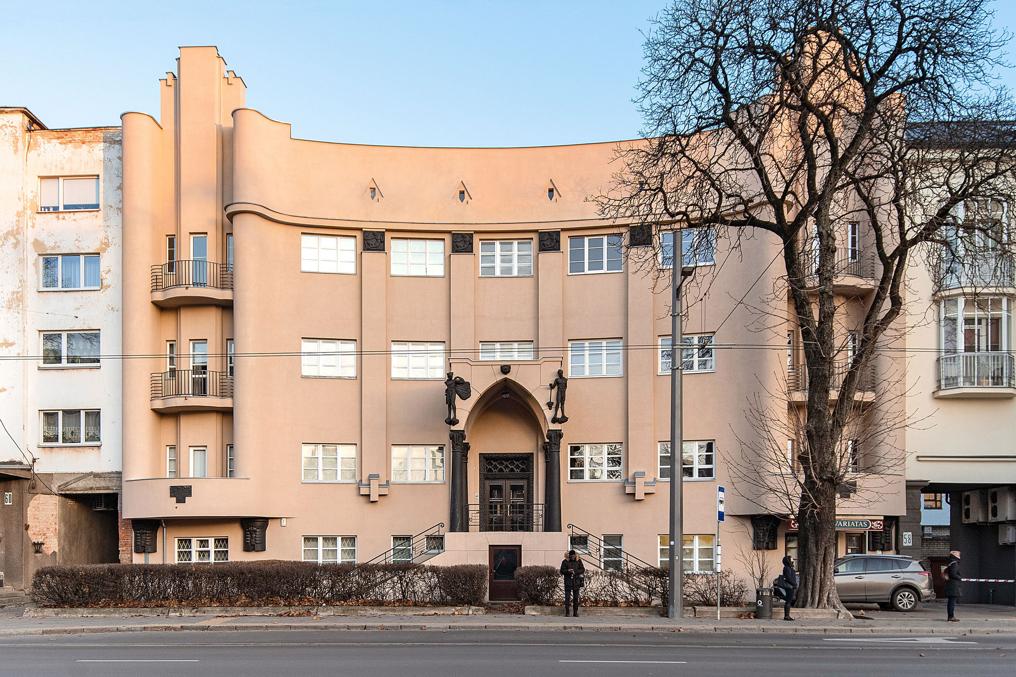
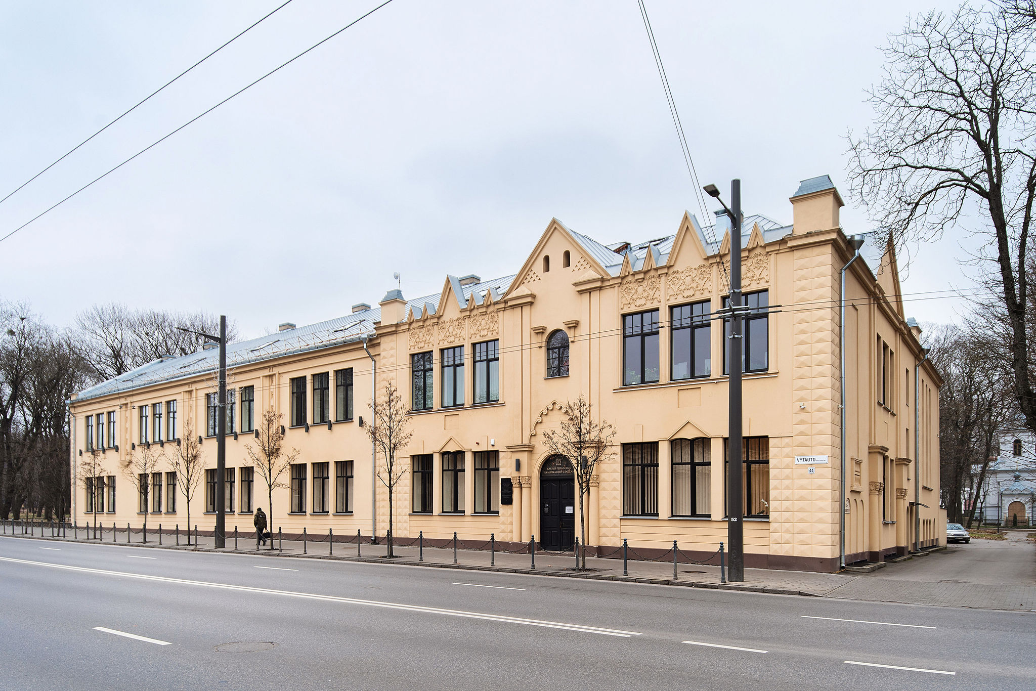
The relocation of the Lithuanian Government to Kaunas in 1919 ushered in a transformative era. With the state's administration settling in, Naujamiestis rapidly evolved and transformed. As the city’s population surged, the demand for housing and workspace grew, leading to the reconstruction of Tsarist-era buildings, often with additional floors added.
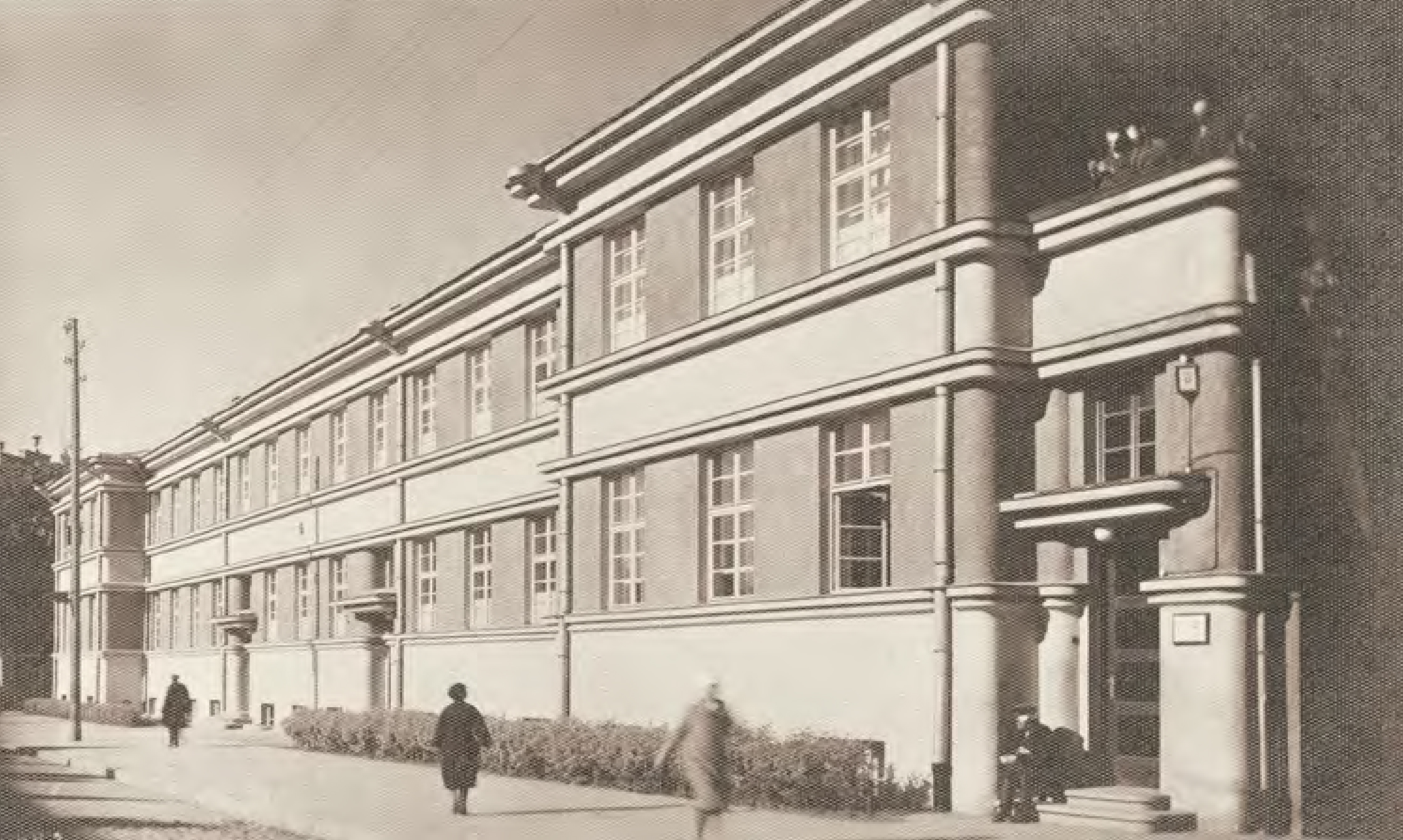
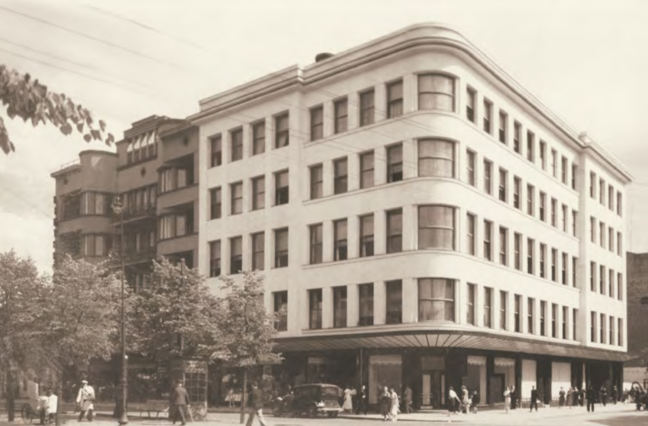
The construction boom peaked between 1930 and 1940, fuelled by the fading hope of reclaiming Vilnius. In this period, 3 to 6-story buildings emerged on the streets of the former Tsarist city, representing the new capital. Museums, banks, embassies, schools, and cultural and administrative institutions filled the growing district. Meanwhile, in the Žaliakalnis slopes, a district of residential homes and villas took shape, adding further to the city's urban fabric.
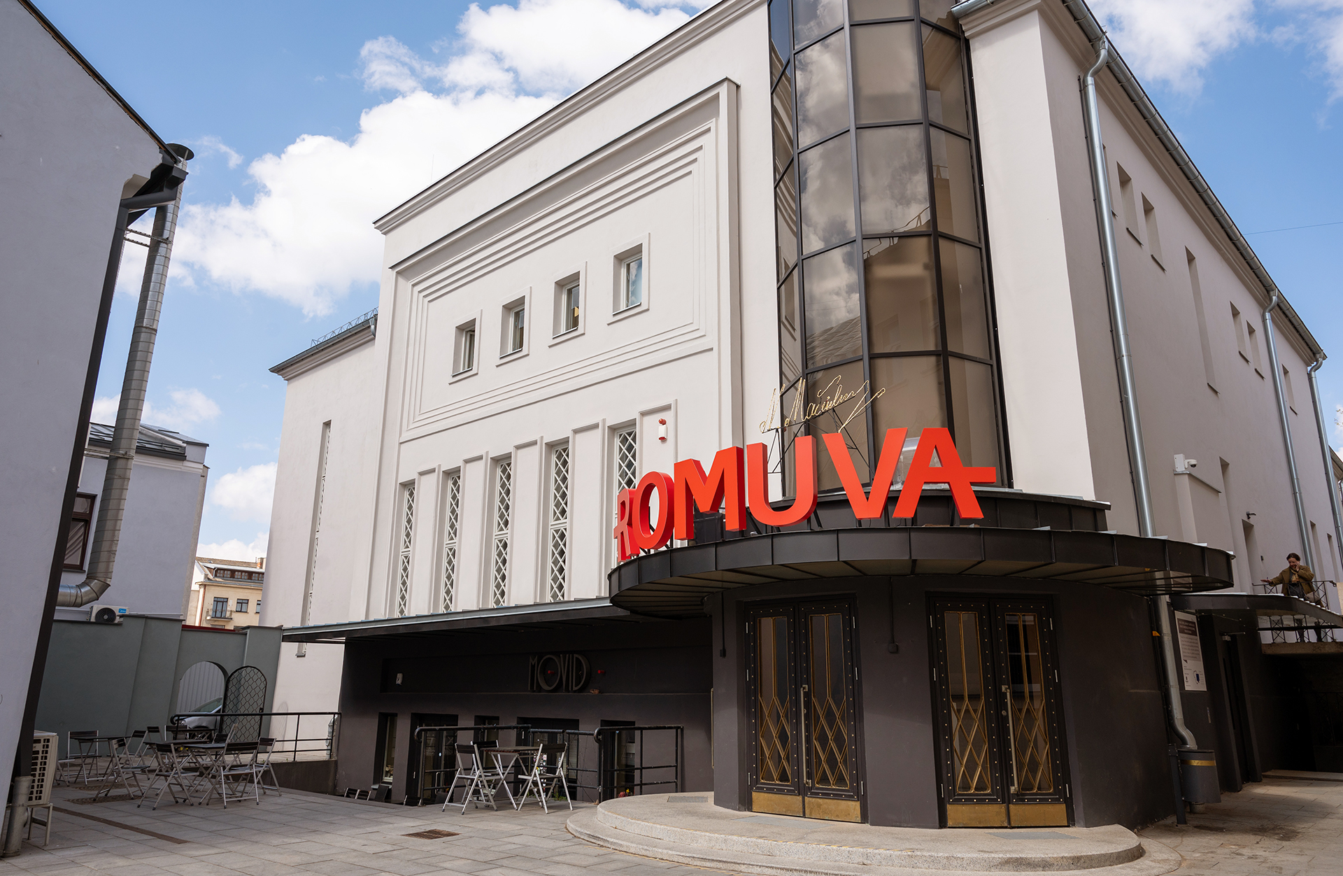
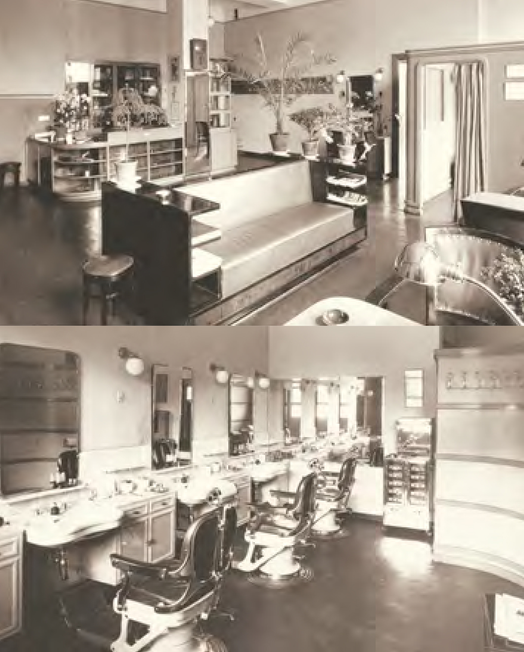
Multifunctional buildings became the lifeblood of Kaunas, addressing the city's core needs: employment, commerce, education, healthcare, entertainment, and comfortable living.
FACES OF THE NAUJAMIESTIS
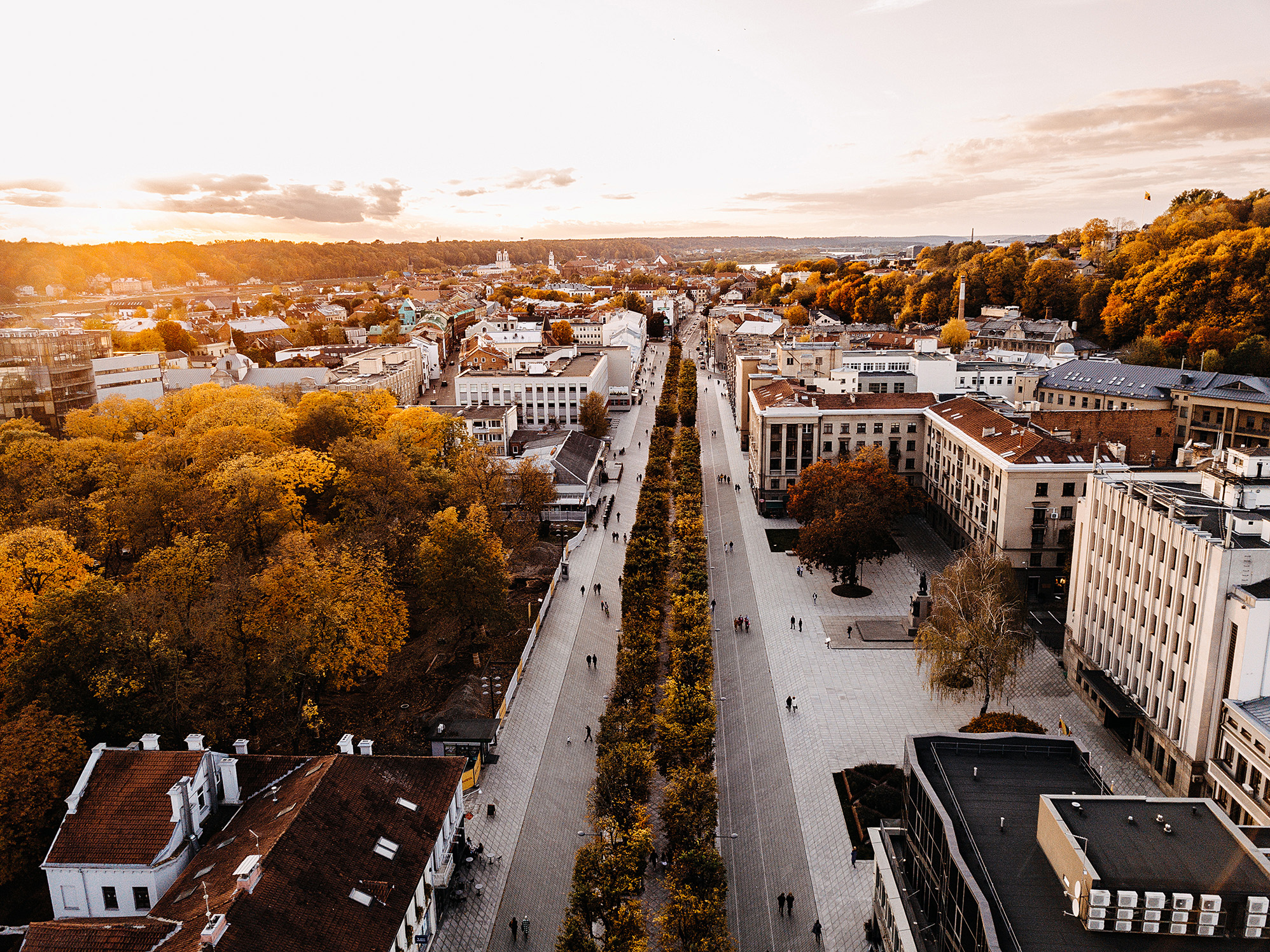
Central Naujamiestis
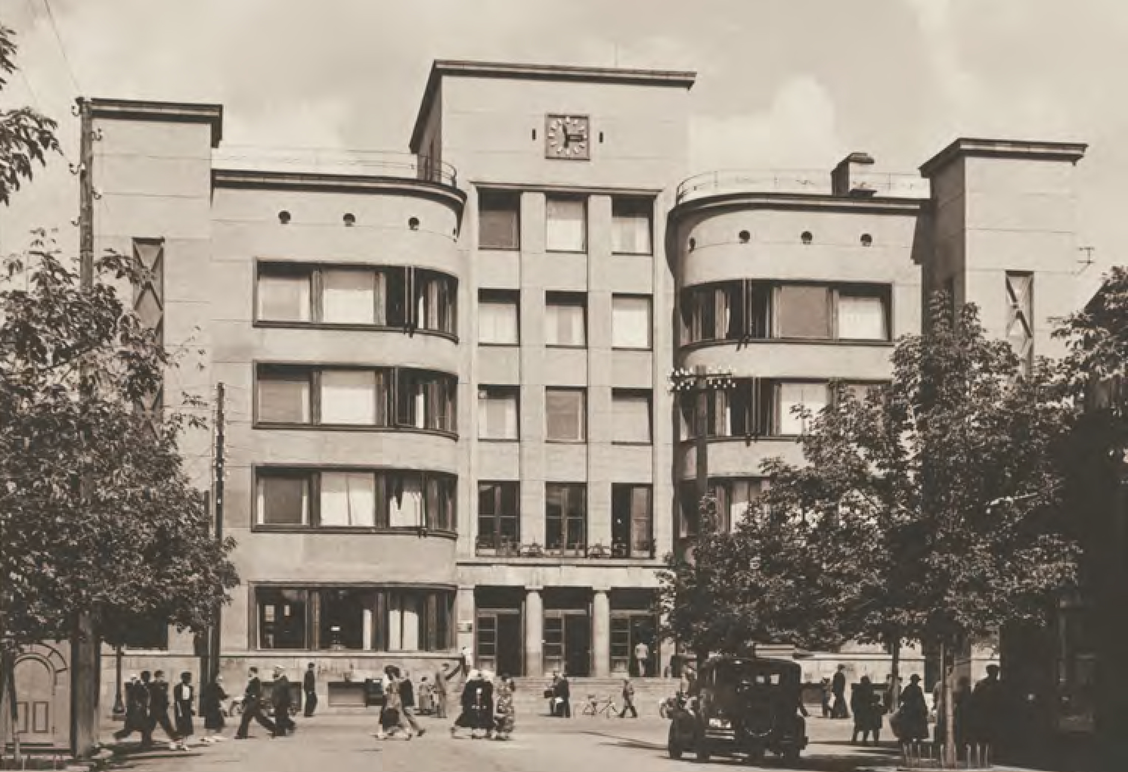
Between 1919 and 1939, a vibrant administrative and cultural hub took shape in Central Naujamiestis, built on the foundations of 19th-century urban planning. It can rightfully be considered the nucleus of the Temporary Capital. In this area, essential functions of administration, housing, and the celebration of the newly formed state were addressed. All of this occurred not in a new area but within the existing planned streets of the Tsarist fortress and surrounding small buildings.
Residential Naujamiestis
Between 1919 and 1939, a vibrant administrative and cultural hub took shape in Central Naujamiestis, built on the foundations of 19th-century urban planning. It can rightfully be considered the nucleus of the Temporary Capital. In this area, essential functions of administration, housing, and the celebration of the newly formed state were addressed. All of this occurred not in a new area but within the existing planned streets of the Tsarist fortress and surrounding small buildings.
Industrial Naujamiestis
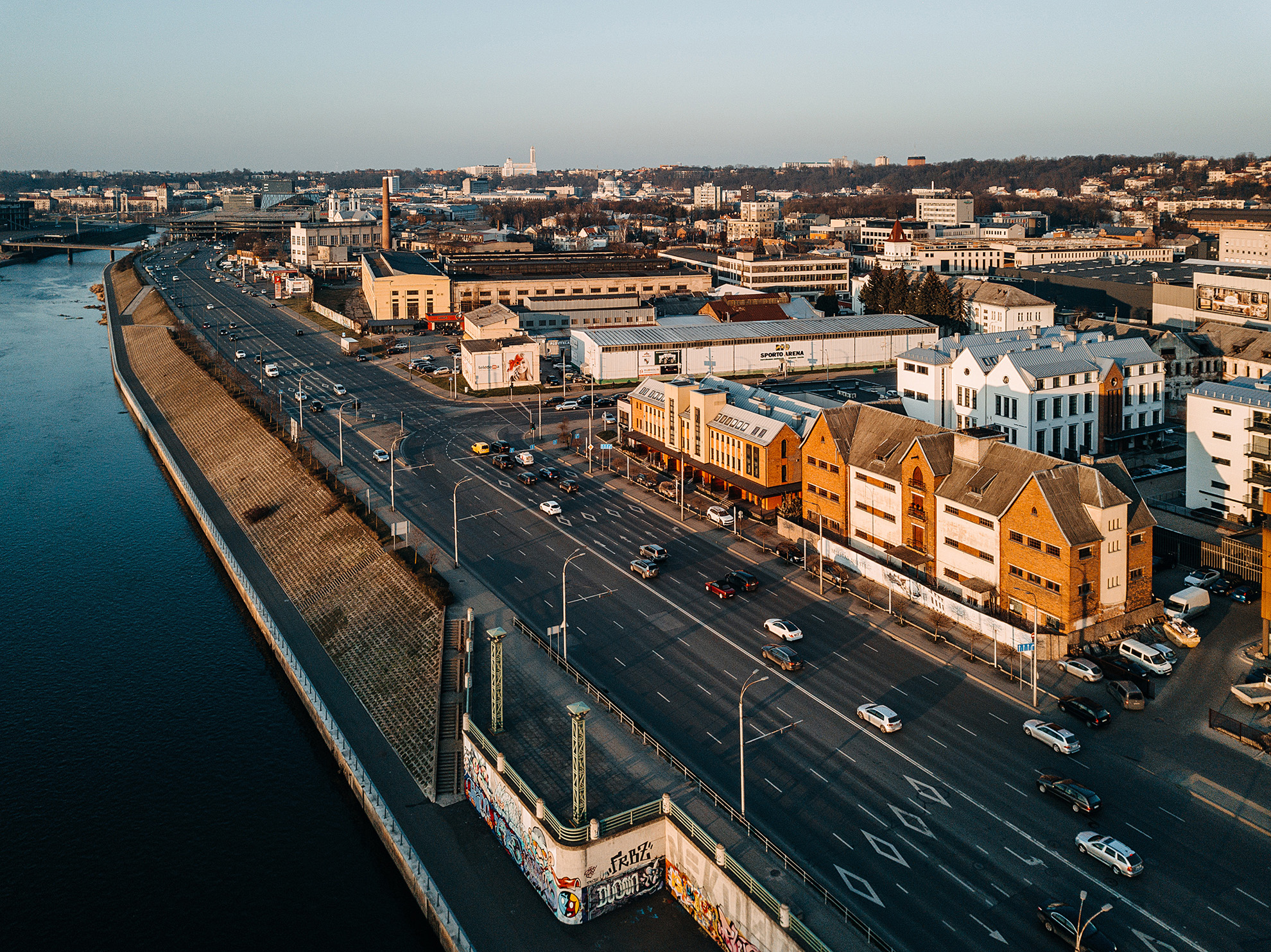
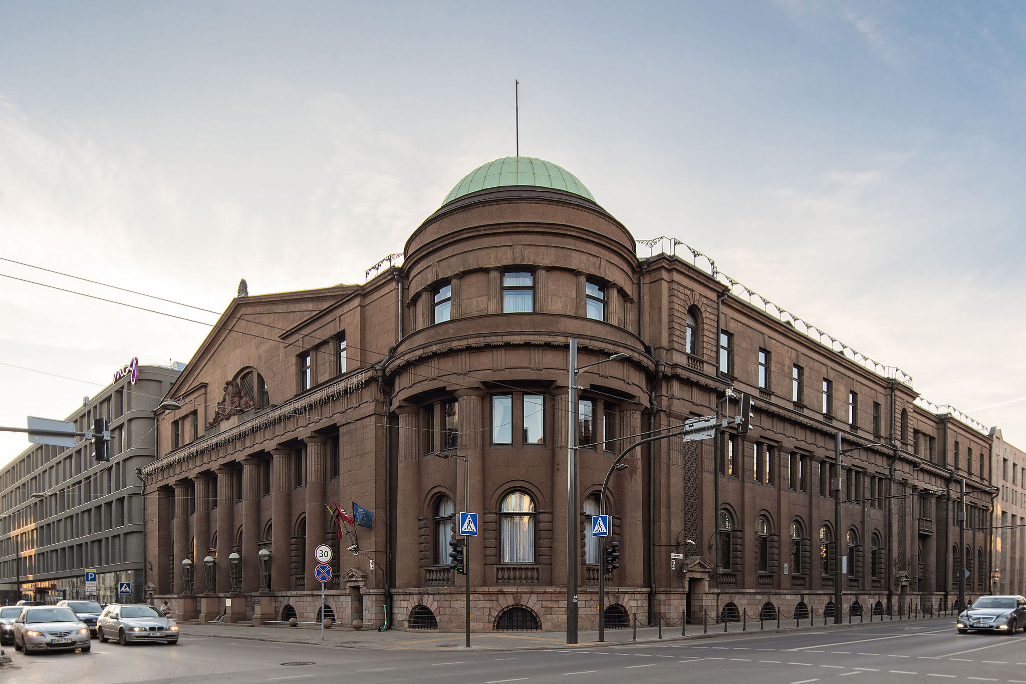
The area between the Nemunas River and Kaunas railway station became an industrial powerhouse. The district seamlessly blended its existing industrial legacy with newly established factories in food, metal, and other industries. This was a zone inseparable from the development of the new state's economic power. By 1937, Kaunas had become an industrial leader, responsible for 40% of the nation’s output.
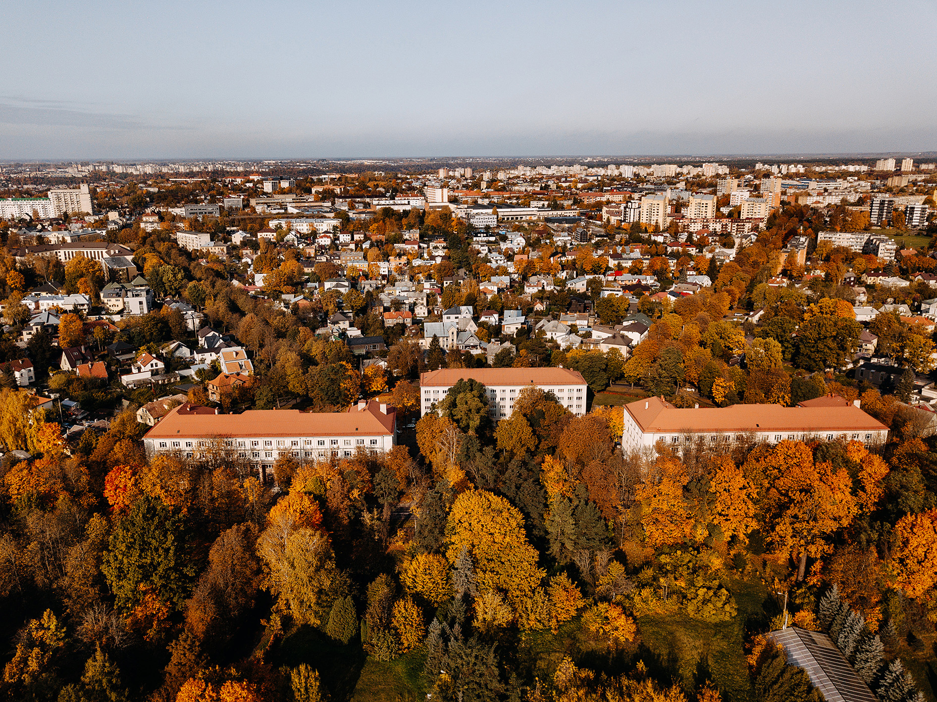
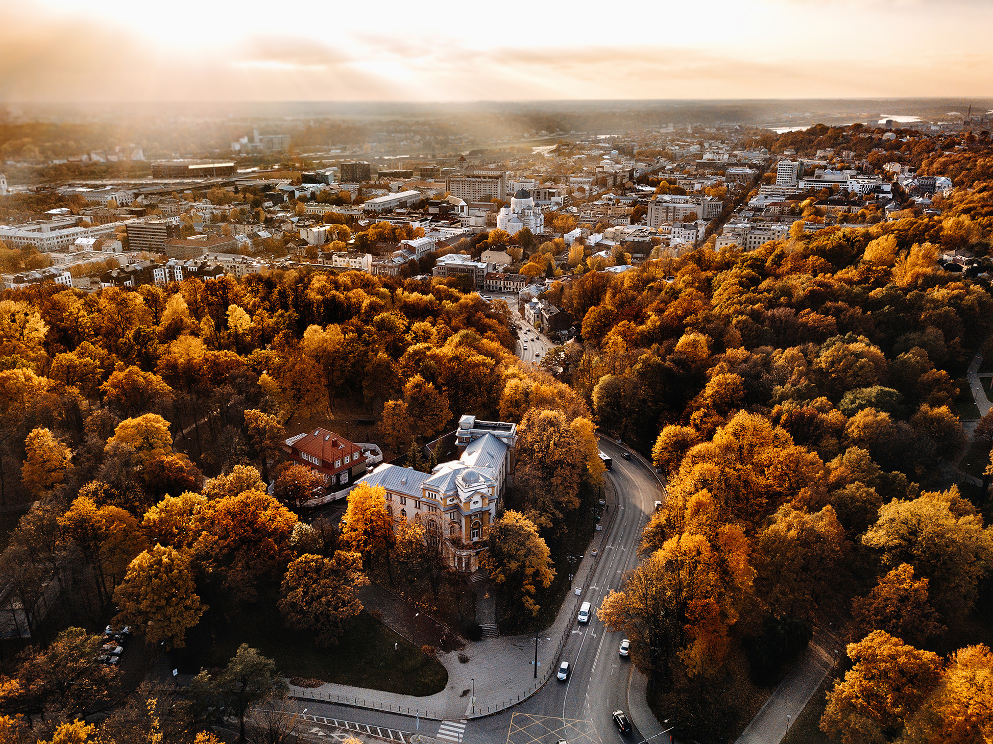
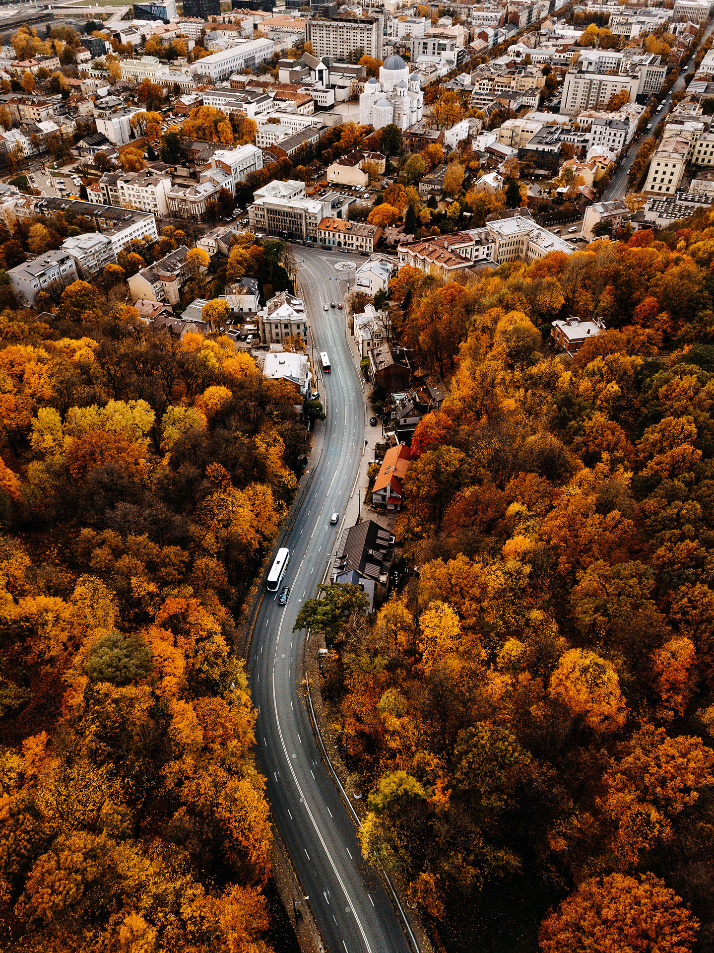
ŽALIAKALNIS
In the interwar period, Žaliakalnis was the second-fastest growing district in the city, only behind Naujamiestis. Kaunas' burgomaster Jonas Vileišis brought in renowned urbanist Marius Frandsen from Copenhagen to help shape the district's future. Along with local engineer Antanas Jokimas, they devised a plan within months, following the popular European city-garden concept.
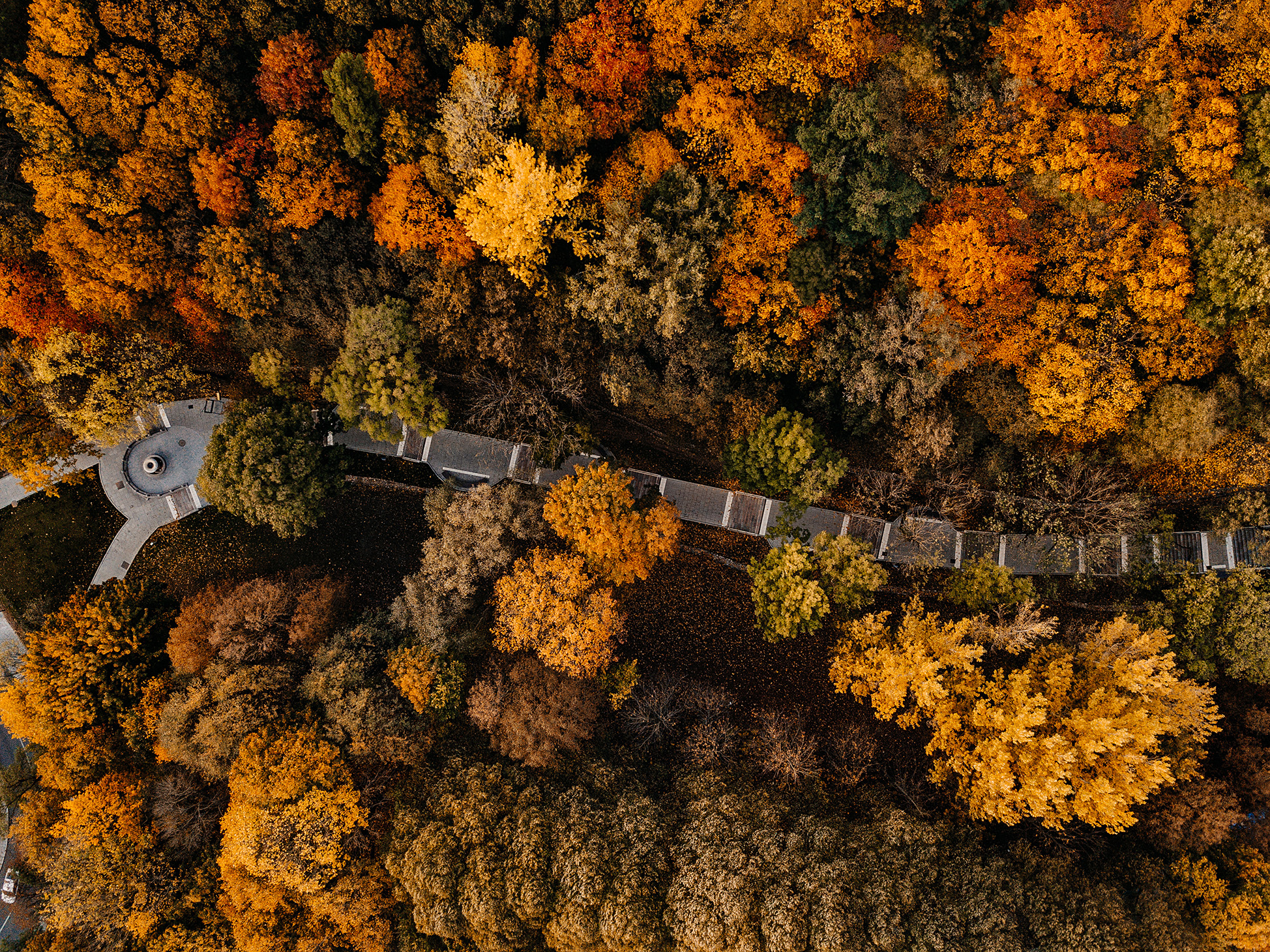
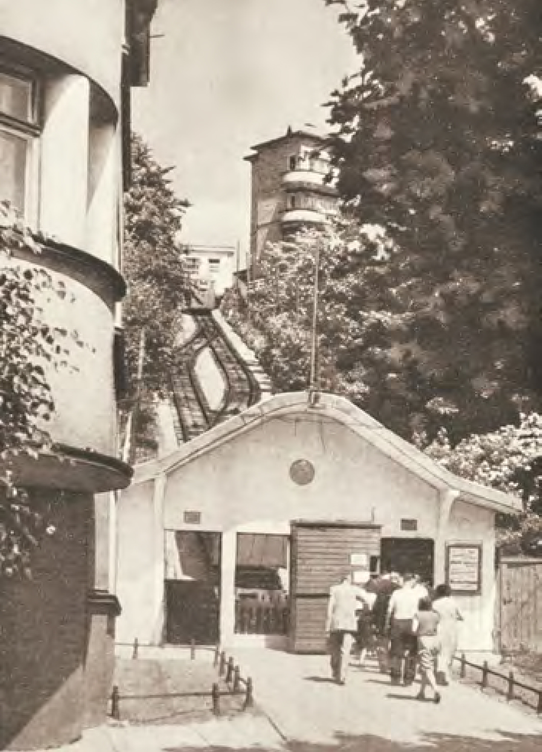
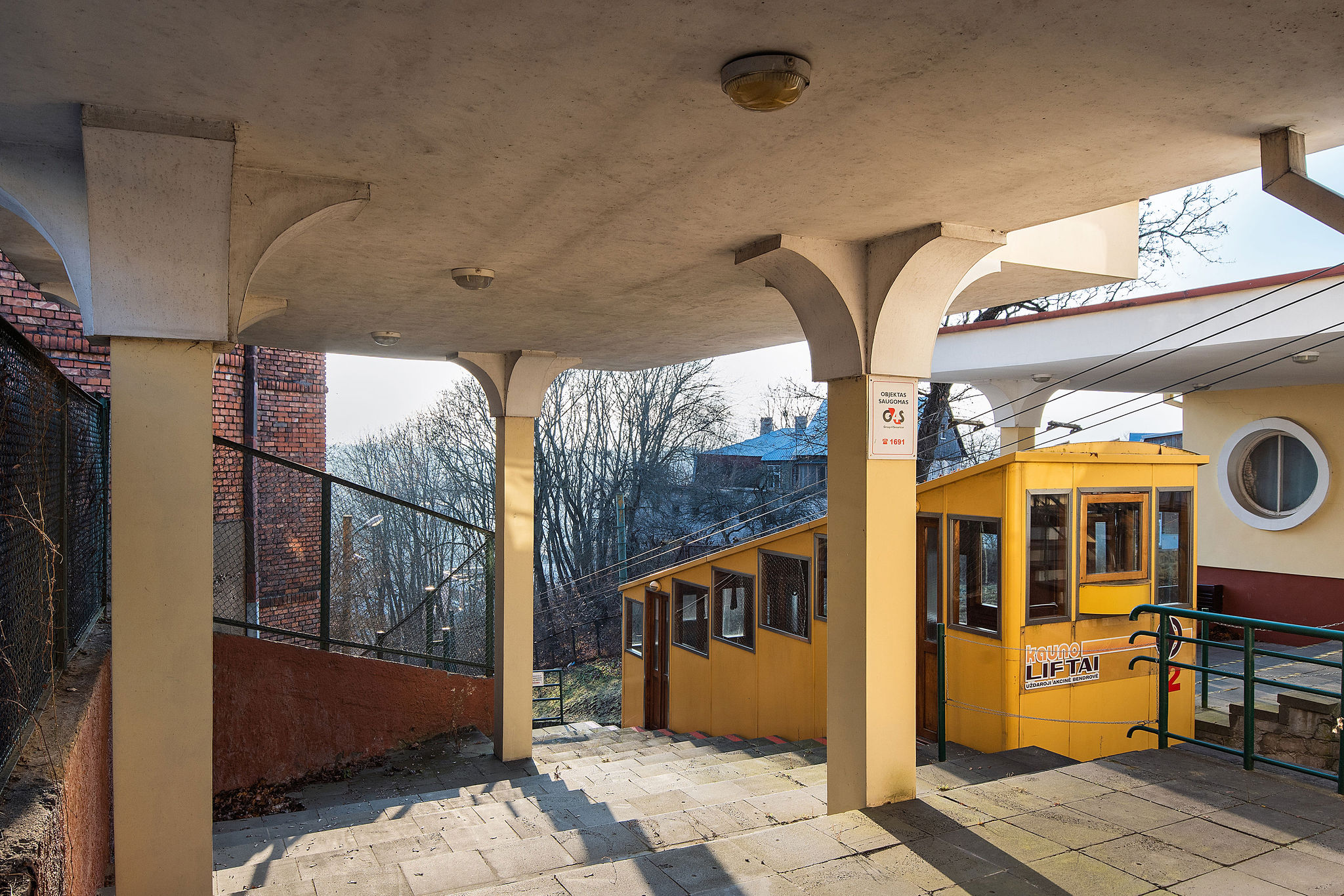
Nature itself dictated the district's development: the lush greenery of the Žaliakalnis slopes and the largest oak grove in Europe, nestled within the city. The steep terrain presented construction challenges, prompting the search for alternative routes between Žaliakalnis and Naujamiestis. In 1931, the electric funicular was completed, symbolising Žaliakalnis. Later, the lower city terrace was connected to green mountain by the current symbols of Žaliakalnis – via the iconic Kaukas Steps and Aušra and Frykas Paths.
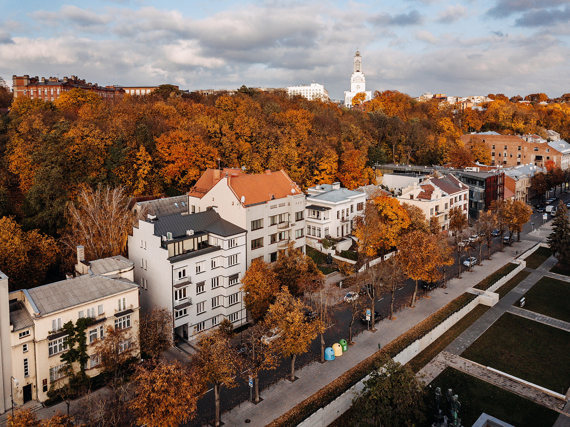
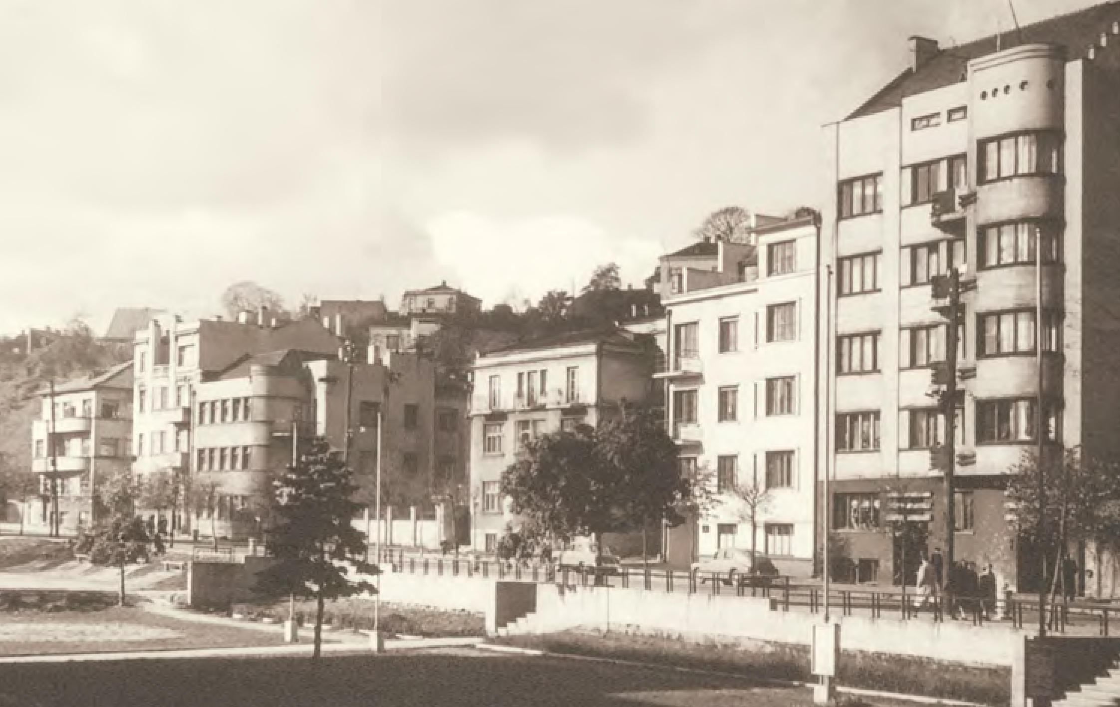
When designing Žaliakalnis, preserving the natural forest was a top priority, shaping the district into a serene residential haven. Private homes with gardens dotted small plots, nestled among greenery, with semi-circular streets framed by tree-lined avenues. The city-garden concept championed the idea that new life was blossoming not in the cramped high-rises of the city, but in nature. This design gave residents the best of both worlds: urban convenience and the health benefits of abundant greenery.
LITTLE NEIGHBOURHOODS
Garden City Area
The Minties and Gėlių circle districts stand out with their partially implemented hexagonal street network, offering a mix of historical architectural styles and national elements on building exteriors, all set amidst green oases. During the interwar period, the area saw the construction of dormitories and wooden houses rented by the municipality for less affluent residents, as well as city villas for politicians, lawyers, and artists. These were complemented by 2 to 3-story apartment buildings, offering 2 to 6-room units.
Kauko Area
Between 1920 and 1940, a residential hub for the military and intellectuals developed between the southern part of Ąžuolynas Park and Aukštaičių Street. In the former fortress esplanade area, 109 buildings were constructed, along with key public facilities such as the Žaliakalnis water station, Kaukas Steps and Alley, and Petro Vileišis Square. This space became a hub for official events, masses, and Lithuanian national song festivals.
Prestigious Perkūnas Area
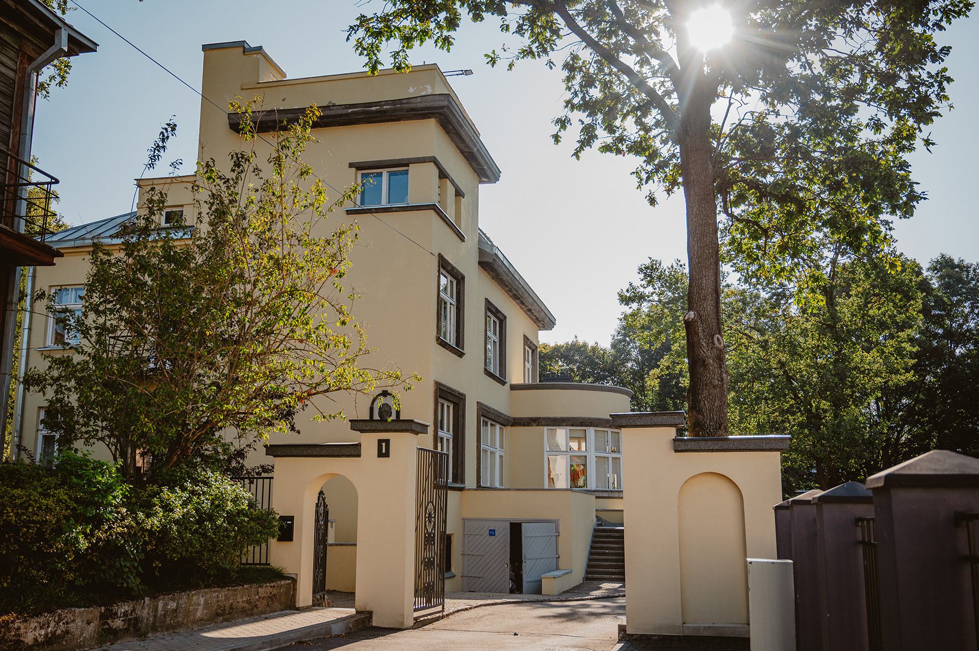
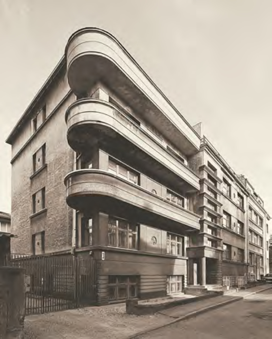
Bordering Perkūnas Alley and Vaižganto Streets, this upper-class residential area was home to modernist villas, the Kaunas radio station, and Vytautas Park. The hillside, framed by slopes, offered panoramic views of Naujamiestis, symbolising the nation’s aspirations for stability and modernisation during the interwar period.
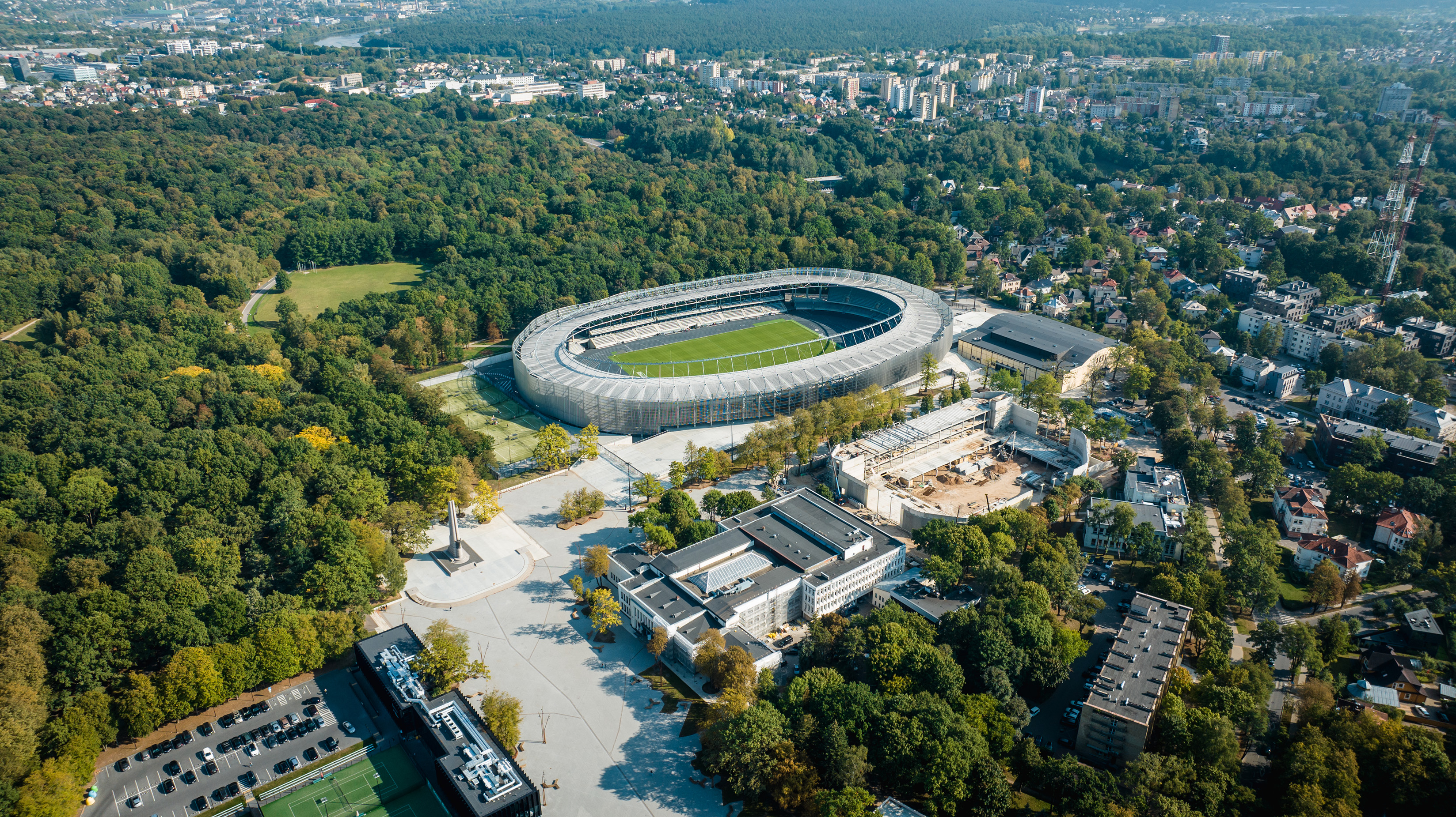
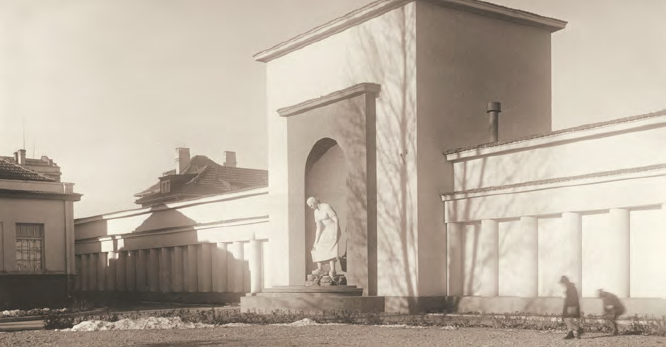
Ąžuolynas Park and Sports Complex
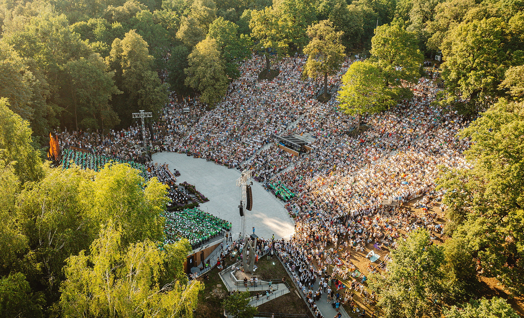
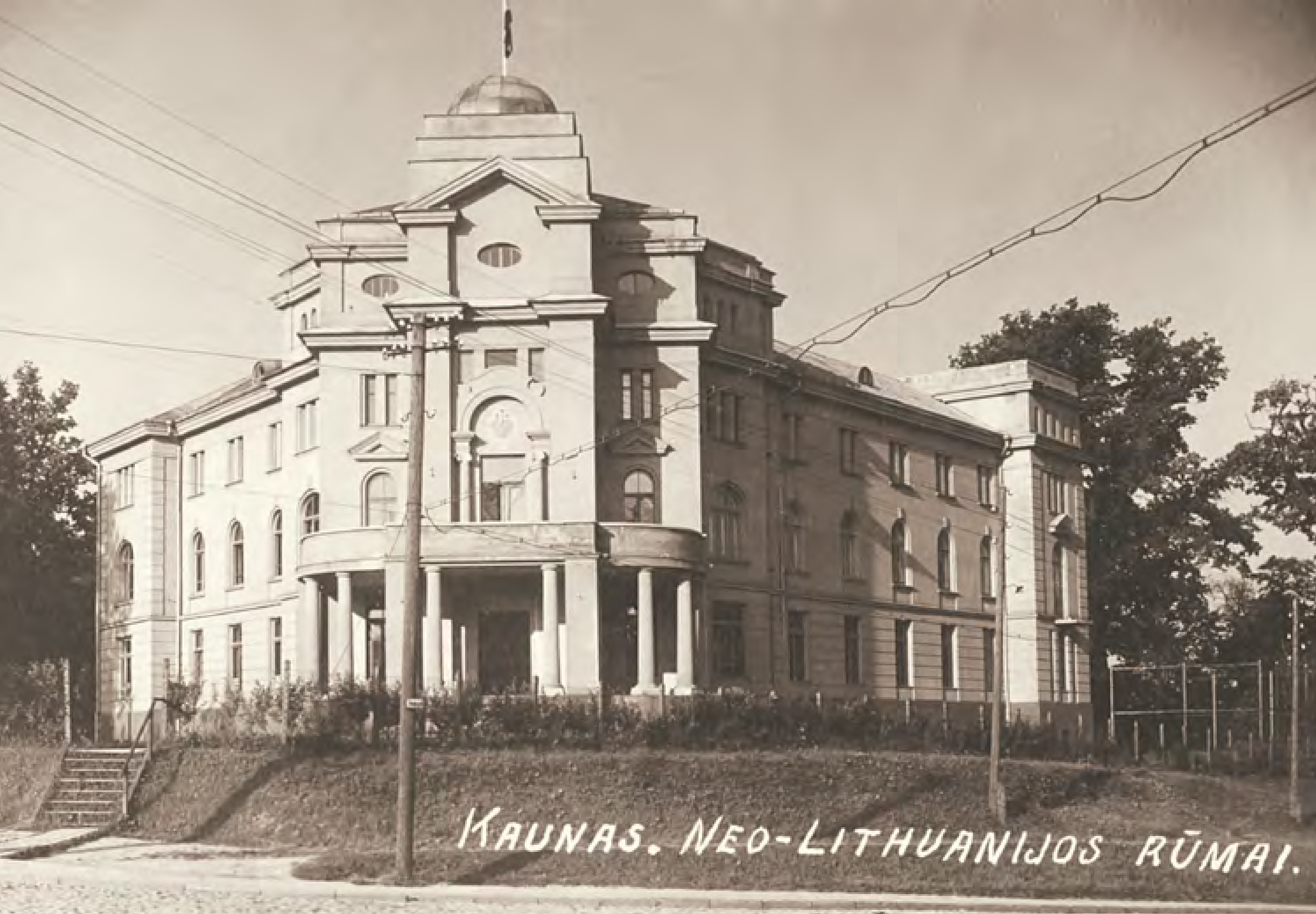
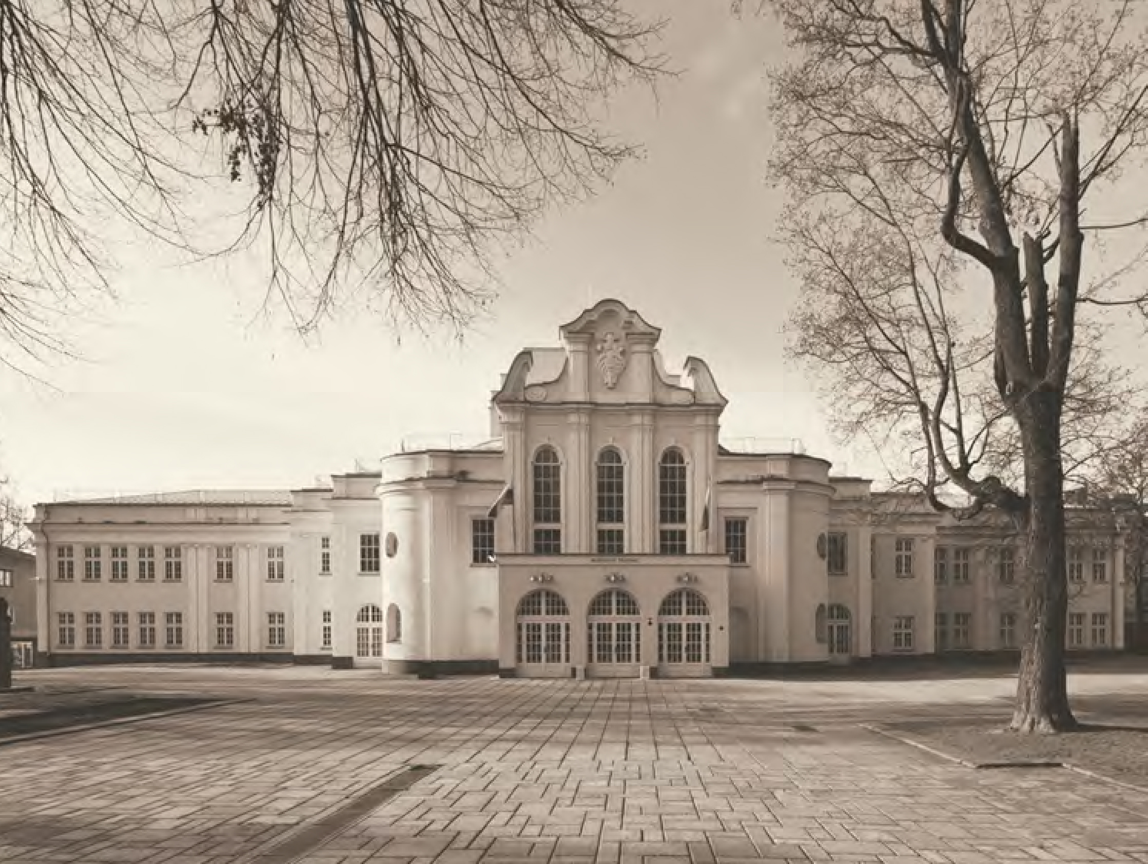
Europe’s largest oak forest, Parodos Hill, Adomas Mickevičius and Dainų Valleys, along with health complexes established during the interwar period, continue to serve the city today. Physical education and sports development were actively promoted, reflecting the modern society’s focus on national health and vitality. Landmarks such as the iconic Kaunas Hall, the Palace of Physical Culture (now Lithuanian Sports University), and the nearby national stadium reflect the city's transformative spirit.
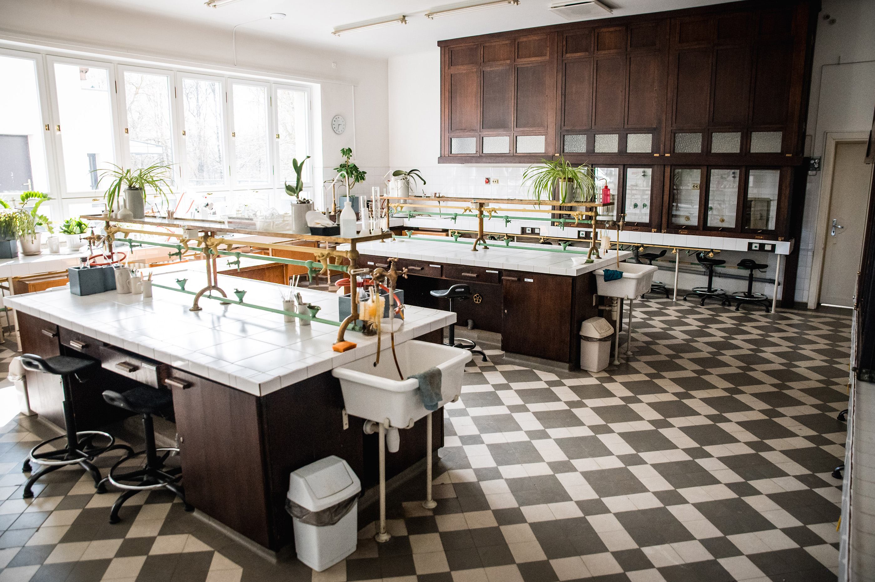
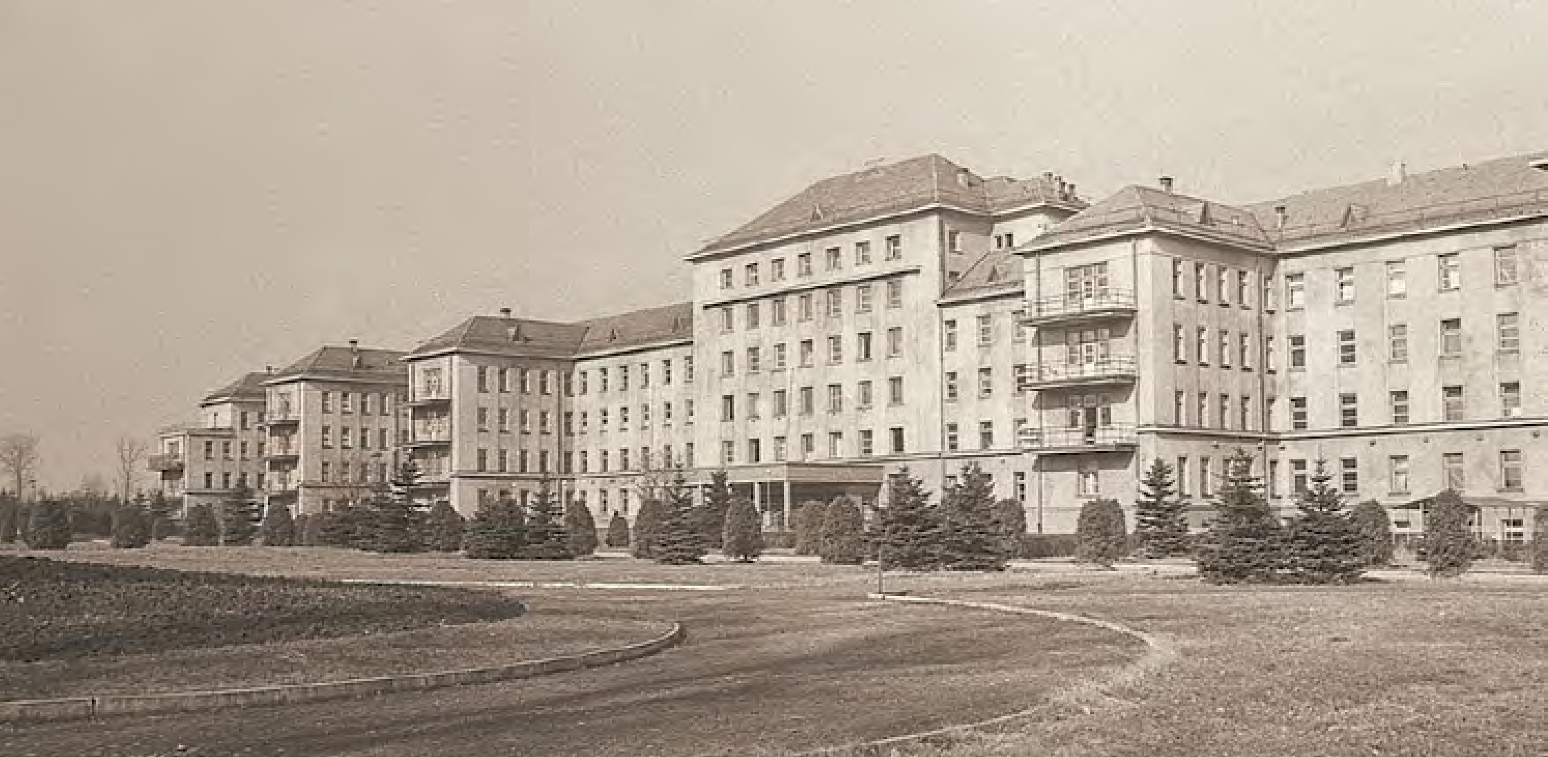
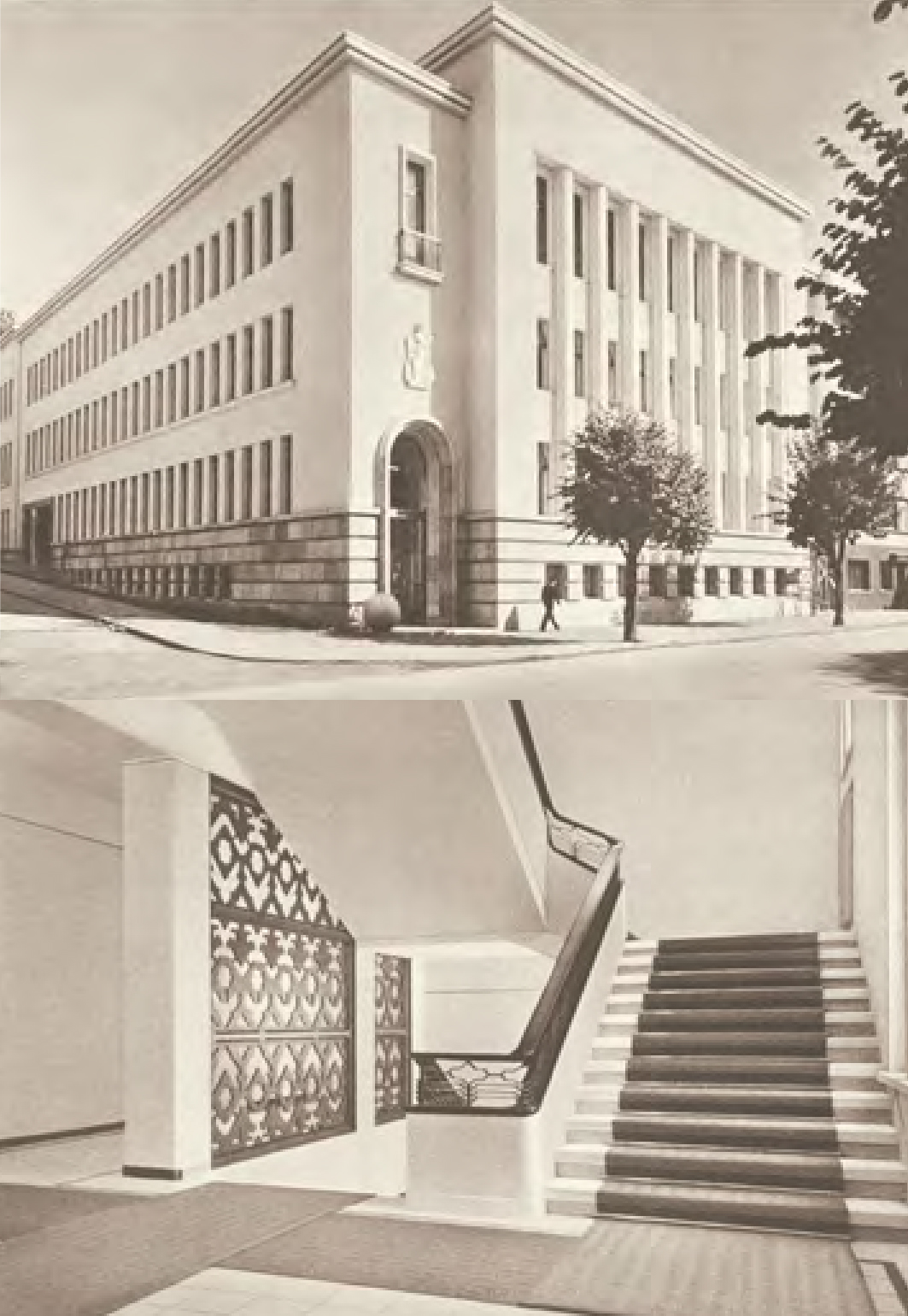
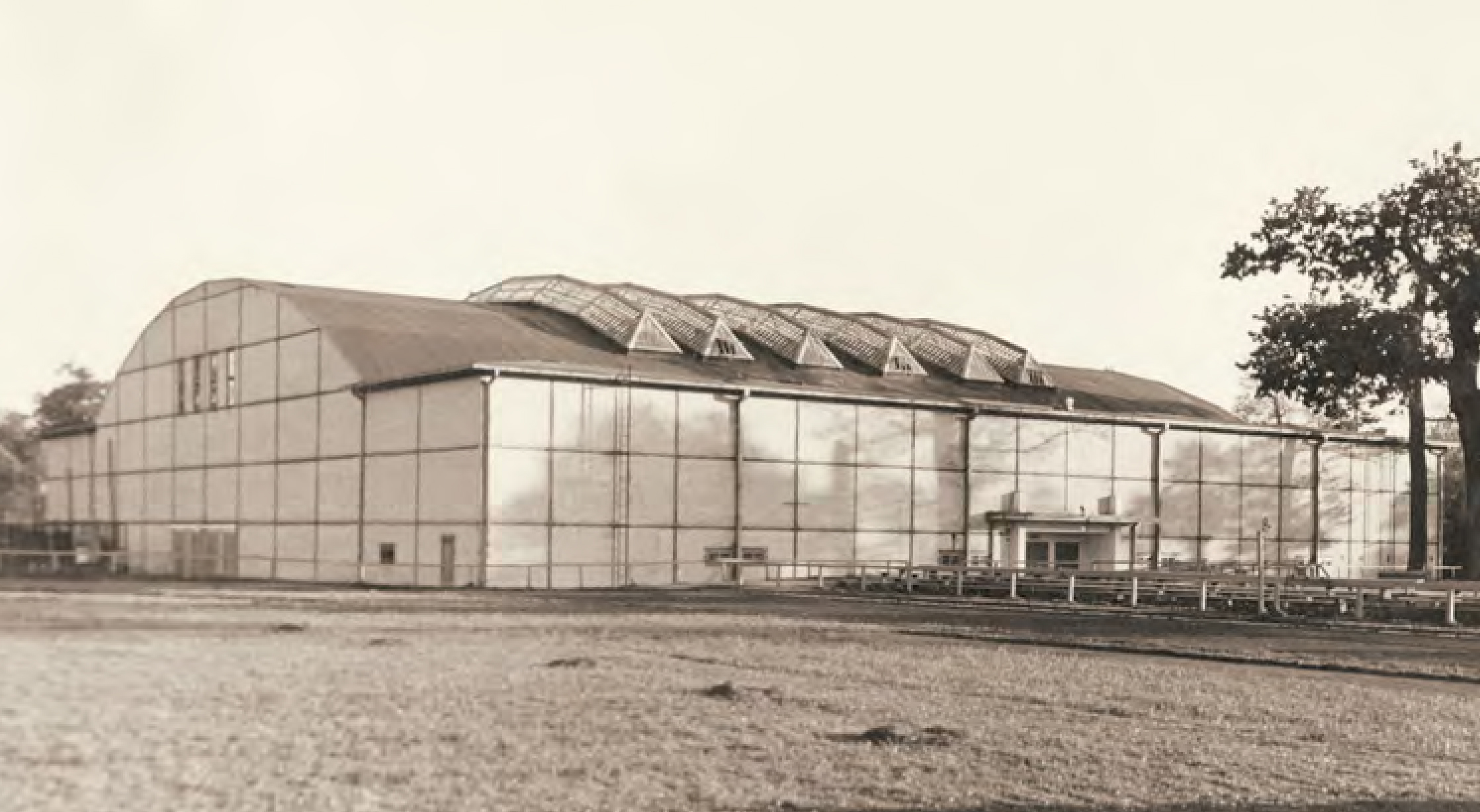
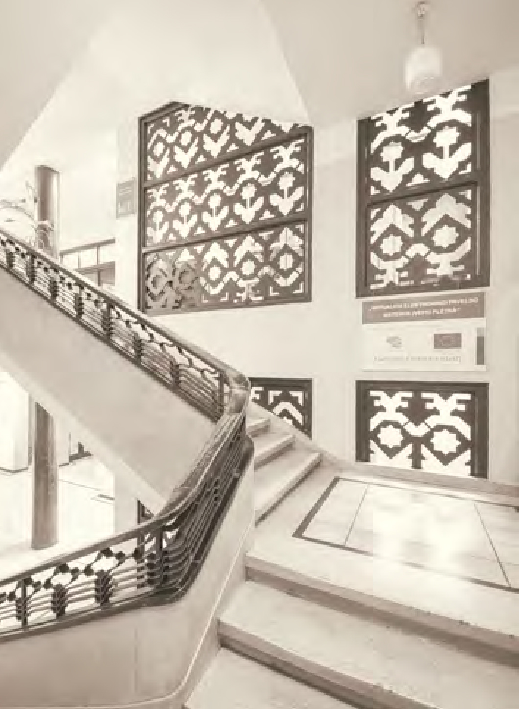
Research Laboratory
One of the most authentic examples of interwar architecture is the Ministry of National Defence’s Armaments Directorate Research Laboratory complex. This 12-building marvel was not only a hub for cutting-edge technical equipment in the Baltic States but also a showcase of stylish functionalist design. Today, the main laboratory, former administration building, telephone station, security rooms, and industrial workshop remain standing as a testament to this architectural gem.